
Drone asset inspection is the practice of using unmanned aerial vehicles to examine structures, equipment, and infrastructure from the air. It exists because many industrial assets are difficult, dangerous, or simply inefficient to inspect from the ground. By placing high-quality cameras or advanced sensors in the sky, organizations can capture detailed information quickly and safely.
In modern industrial workflows – where uptime, accuracy, and worker safety matter more than ever – drone inspections have become a practical, trusted way to understand the condition of assets without interrupting operations.
What Drone Asset Inspection Really Means Today
Today’s drone asset inspection is far more than taking a few aerial photos. It has evolved into a structured, data-driven approach that gives operators a clear, measurable understanding of an asset’s condition. Early drone inspections were often experimental, driven by curiosity more than workflow. Over time, as industrial drone sensors improved and flight systems became more stable, drones proved they could capture consistent, repeatable results that rival – and often surpass – traditional inspection methods.
Modern inspections combine high-resolution imaging, precise positioning, and specialized sensors to document everything from surface deterioration to internal temperature patterns. What used to require rope access teams, scaffolding, or shutdowns can now be performed by industrial UAV platforms hat minimizes downtime and risk. As industries continue to adopt digital maintenance strategies, drone-based inspection has become a standard tool in the asset management ecosystem, valued for its objectivity, speed, and ability to spot issues long before they escalate.
How UAV-Based Asset Inspections Work
UAV-based inspections work by sending a drone equipped with the right sensors to capture detailed visual or technical data around an asset. In practice, this often means flying close enough to detect subtle signs of wear while maintaining a safe distance from structures. The drone gathers images, measurements, or point clouds as it moves along a planned route, ensuring full coverage of the area of interest.
Once the data is collected, it becomes part of a larger asset management workflow. Engineers, inspectors, or analysts review the material to identify anomalies, confirm maintenance needs, or document changes over time. Because drones gather data quickly and consistently, teams gain a repeatable baseline for comparison – a valuable asset when tracking long-term performance or diagnosing emerging issues.
Why Drones Are Transforming Asset Monitoring and Maintenance
Drones are reshaping asset monitoring because they solve long-standing challenges around access, safety, and data reliability. Traditional inspection methods often require workers to climb towers, enter confined spaces, or operate costly equipment. Drones remove much of that exposure by capturing the same – or better – information from a safer vantage point. This shift not only protects personnel but also reduces the need for extensive site preparation.
Efficiency is another major factor. A commercial inspection drone can cover large or complex structures in a fraction of the time it would take a ground crew, and it does so without interrupting normal operations. At the same time, the precision of modern sensors means operators receive highly detailed and repeatable data. That consistency helps organizations make better maintenance decisions, extend asset lifespan, and reduce unplanned downtime.
Types of Assets Suitable for Drone Inspection
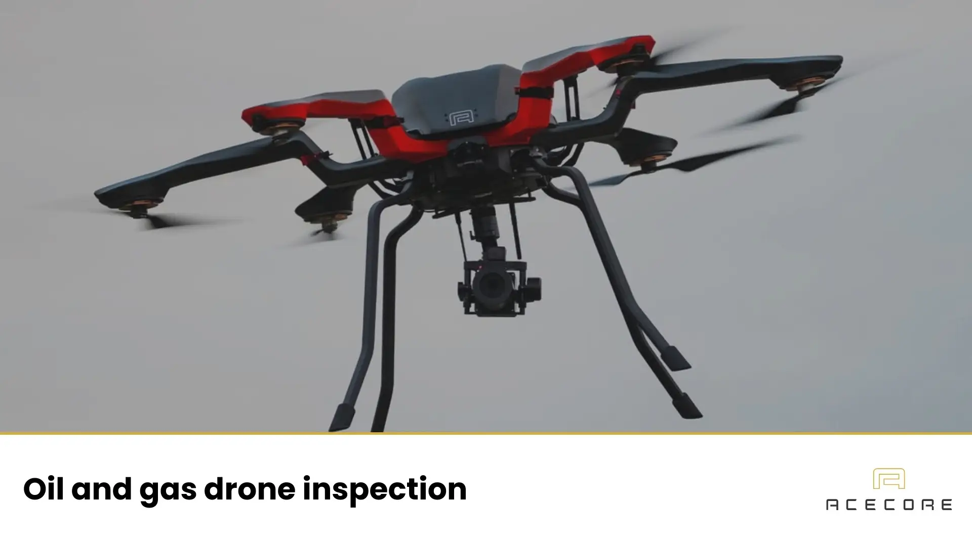
Drones can be used to inspect a wide range of industrial assets because they can reach places that are difficult, hazardous, or time-consuming to access from the ground. Vertical structures like wind turbines, telecom towers, and flare stacks benefit from the drone’s ability to hover close and capture fine details. Linear assets such as powerlines, pipelines, and railway corridors are equally well suited, as UAVs can follow long routes efficiently while gathering consistent data along the way.
Ground-based facilities also make effective use of aerial inspections. Refineries, chemical plants, storage terminals, and solar farms often rely on drones to document component conditions without halting production. Even civil infrastructure – bridges, dams, roadways, and water systems – can be examined from perspectives that engineers previously had to estimate or simulate. By visualizing assets in their real-world context, drones help teams understand how systems age, interact, and evolve over time.
Key Technologies Used in Drone Asset Inspection
The technologies behind drone inspections define the quality and usefulness of the data that operators receive. LiDAR is one of the most powerful tools for mapping and structural analysis, generating precise 3D point clouds that reveal deformation, vegetation encroachment, or clearance issues with remarkable accuracy. It is often used when teams need detailed spatial information rather than simple imagery.
Thermal imaging supports a different kind of insight. By detecting heat patterns on surfaces or inside components, thermal sensors help identify insulation failures, electrical hotspots, moisture infiltration, or mechanical friction long before they become critical. These temperature-based clues make thermal inspection especially valuable for utilities, industrial facilities, and renewable energy assets.
RGB cameras remain the backbone of most inspections. Their high-resolution imagery captures surface details such as corrosion, cracks, loose components, or missing hardware. Because RGB data is intuitive to interpret, it serves as a reliable first step in documenting an asset’s visible condition. EO/IR sensors combine optical and infrared capabilities in a single payload, allowing operators to switch between visual and thermal perspectives during the same flight. This combination is particularly useful for complex or high-risk environments where teams need a complete picture of what’s happening on-site.
Benefits of Drone Asset Inspection for Industrial Operations
Drone asset inspection offers clear, measurable benefits that directly support day-to-day industrial operations. One of the most immediate advantages is speed. A drone can survey large or complex structures in minutes instead of hours, capturing consistent data without requiring operators to shut down equipment or mobilize specialized access teams. This efficiency helps organizations keep projects on schedule and reduces the overall cost of routine assessments.
Safety is another major benefit. Instead of sending workers into high, confined, or hazardous areas, drones can collect the necessary information from a safe distance. By reducing exposure to risky environments, teams not only protect personnel but also minimize the logistical burden of planning and supervising traditional inspection work.
At the same time, drones provide high-quality, repeatable data that supports more accurate decision-making. Whether documenting small defects or tracking long-term changes, the insights gained from UAV inspections help maintenance teams prioritize work, extend asset lifespan, and avoid costly failures.
Drone Inspection Workflow: From Planning to Deliverables
A dependable drone inspection relies on a clear workflow that guides the entire process from early planning to the final deliverables. A thoughtful workflow creates consistency, builds trust in the results, and ensures that every mission produces data that is both technically accurate and genuinely useful.
1. Site Assessment and Mission Planning
Every successful drone inspection starts with understanding the environment. Site assessment helps operators identify obstacles, restricted airspace, and any environmental factors that may influence the flight. This early groundwork also includes reviewing asset documentation, previous inspection records, and operational constraints to ensure the mission aligns with real-world needs.
Mission planning turns that understanding into a practical blueprint. Operators define flight paths, sensor angles, safety buffers, and data capture settings so the drone can follow a predictable route. Whether the flight is automated or manually guided, clear planning minimizes risk and ensures that the inspection delivers consistent, high-quality information across the entire asset.
2. Sensor Selection and Payload Configuration
Choosing the right sensor is one of the most important steps in preparing for an inspection. Each mission has its own objectives – and those objectives determine which tools the drone carries. High-resolution RGB cameras are typically selected for visual documentation, while thermal sensors are preferred for detecting temperature anomalies in electrical or mechanical systems. LiDAR comes into play when precise 3D measurements are required, such as checking structural deformation or validating clearances.
Payload configuration ensures that the chosen sensors are mounted, balanced, and integrated correctly with the drone. This includes setting up gimbals for stability, configuring data capture parameters, and verifying that the system can operate reliably in the mission’s expected conditions. A well-configured payload not only captures better data but also allows the drone to fly more efficiently and safely throughout the inspection.
3. Automated and Manual Flight Operations
During an inspection, pilots often use a mix of automated and manual flight modes to get the best possible results. Automated flights are ideal for covering large areas or repeating the same route over time. By following predefined waypoints, the drone maintains consistent altitude, speed, and overlap, which is crucial for accurate mapping, 3D modeling, or long pipeline drone inspections. This level of repeatability is difficult to achieve manually and helps create dependable datasets for comparison over months or years.
Manual control, on the other hand, becomes valuable when assets require close-up attention or when conditions demand real-time adjustments. Skilled pilots can navigate tight spaces, reposition for better angles, or respond to unexpected wind or lighting changes. This combination of automated precision and human judgment ensures that inspections remain both efficient and adaptable, capturing the detail and clarity needed for confident asset evaluation.
4. Data Processing, Analysis, and Reporting
Once the drone lands, the real work of turning raw data into insight begins. Images, point clouds, or thermal readings are first organized and cleaned to remove duplicates, distortions, or unusable frames. Specialized software then stitches, aligns, or calibrates the data so it accurately reflects the condition of the asset. This step is essential because even the best-collected imagery needs structure before it can support meaningful decisions.
After processing, analysts review the material to identify patterns, anomalies, or changes compared to previous inspections. Cracks, corrosion, hotspots, and structural shifts become clearer when the data is viewed in a consistent format. Finally, the findings are compiled into a report that highlights key observations in a way that maintenance teams, engineers, or stakeholders can act on. Clear, accurate reporting closes the loop, turning a flight operation into a practical tool for long-term asset reliability.
Safety, Compliance, and Regulatory Considerations
Drone asset inspections must follow clear safety and regulatory guidelines to ensure that every operation is both responsible and legally compliant. Pilots need to understand local airspace rules, fly within designated altitude limits, and maintain appropriate distances from people and structures. Depending on the region and the weight class of the drone, certifications or operational approvals may be required, especially for missions that take place near critical infrastructure or populated areas.
Beyond legal requirements, safety planning is a core part of professional inspection work. This includes conducting pre-flight checks, monitoring weather conditions, establishing emergency procedures, and maintaining reliable communication throughout the mission. Many organizations also follow internal safety standards to align with industry best practices. When these elements come together, drone inspections become predictable, repeatable, and secure – providing high-value data without compromising operational integrity.
Choosing the Right UAV Platform for Professional Asset Inspection
Selecting the right UAV platform begins with understanding the demands of the inspection itself. Professionals typically look for reliability first, because an inspection drone must perform consistently in environments where wind, temperature, or electromagnetic interference can pose real challenges. Endurance is another key factor, as longer flight times allow teams to cover more ground without frequent battery changes or interruptions.
Payload flexibility also shapes the decision. Industrial inspections often require switching between RGB, thermal, LiDAR, or EO/IR sensors, so a drone with a modular design makes it easier to adapt to different missions. Integration with existing workflows matters too – from mission planning software to data processing tools. For organizations that need advanced capabilities or operate in demanding environments, high-performance platforms built for durability and precise sensor integration can make a significant difference.
Exploring Advanced Drone Solutions for Asset Inspection
As organizations refine their inspection workflows, many eventually look toward more advanced drone systems to improve consistency, data quality, and operational resilience. These platforms typically offer stronger sensor integration, better stability in challenging environments, and the ability to carry specialized payloads without compromising flight performance.
If you are exploring how to take the next step – whether through more capable hardware, refined payload configurations, or fully integrated inspection setups – it may be worth looking into professional-grade systems built specifically for demanding industrial work. This is where manufacturers like Acecore, with their focus on high-performance, hand-crafted UAV platforms, can help guide you toward solutions that match your operational goals without pushing unnecessary complexity.