
Construction sites move fast, and small gaps in oversight can turn into real delays, cost overruns, or safety issues. When multiple teams are working across changing ground conditions, scaffolding, lifts, materials, and temporary routes, it is easy to miss what is happening beyond the area you are standing in. Clear oversight is not just about checking work – it is about understanding the site as a living system and spotting issues early enough to act on them.
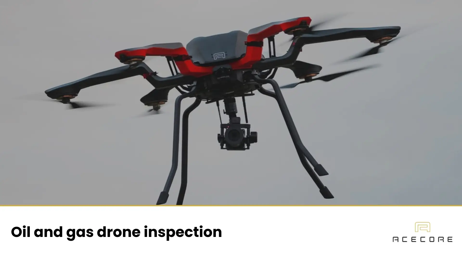
A drone construction site inspection is a professional method for drone inspection and documenting site conditions from the air. By capturing consistent aerial visuals – and, when needed, additional sensor data – drones help teams see progress, confirm installation states, and keep a reliable record of what was where and when. The goal is practical: better situational awareness, clearer communication, and fewer surprises when decisions have to be made quickly.
What Is a Drone Construction Site Inspection?
A drone construction site inspection is the use of an unmanned aircraft to visually inspect, record, and review conditions on an active or completed construction site. The drone flies over and around the site, capturing images or video that show how the project is progressing and how different elements relate to one another in real space.
In practice, this means creating an objective visual overview that supports planning, coordination, quality control and broader asset inspection. Drones are especially useful where the scale of a site makes it hard to grasp everything from ground level, or where frequent changes make manual documentation impractical. Importantly, drones do not replace on-site personnel. They support construction teams by giving them a broader, clearer view, helping them make better-informed decisions based on up-to-date visual information.
What Does a Drone Inspect on a Construction Site?
On a construction site, drones are mainly used to inspect elements that benefit from an elevated, wide-angle view. One of the most common uses is progress tracking. By capturing regular aerial overviews, teams can clearly see how earthworks, foundations, structures, and installations evolve over time and compare the current state with planning or earlier phases.
Drones are also well suited for inspecting structures and areas that are difficult or time-consuming to reach from the ground. This includes roofs, façades, steel frameworks, bridges, cranes, and temporary structures. Instead of setting up scaffolding or lifts just to take a look, teams can visually assess these areas from the air and decide whether closer inspection is needed.
In addition, drones help with general site documentation and safety-related observations. They can reveal congested zones, material storage issues, access routes, and potential hazards, similar to what is identified during utility drone inspections. The result is a clear visual record of site conditions that supports coordination, reporting, and discussions between contractors, supervisors, and stakeholders.
How a Construction Site Drone Inspection Works
A construction site drone inspection typically starts with planning. The area to be inspected, the purpose of the flight, and any safety or regulatory considerations are defined in advance. This ensures the drone captures the right views without interfering with ongoing work or site operations.
Once on site, the drone is flown along a planned route to capture aerial images or video. Flights are usually kept short and focused, covering key areas such as active work zones, structural elements, and site boundaries. The pilot maintains visual awareness of the surroundings while adjusting the flight as needed to reflect real site conditions.
After the flight, the collected visuals are reviewed and shared with the relevant teams. The footage can be used to assess progress, verify completed work, or support reports and meetings. In many cases, inspections are repeated at regular intervals, creating a consistent visual timeline of how the site develops from start to finish.
Why Drones Are Used for Construction Inspections
Drones are used on construction sites because they make it easier to see more, faster, and with less risk. Instead of sending people into elevated, unstable, or hard-to-reach areas, a drone can capture the same visual information from a safe distance. This reduces the need for temporary access solutions and lowers exposure to potential hazards, while still giving teams the insight they need.
Another key advantage is speed. A single drone flight can cover an entire site in minutes, providing a clear overview that would otherwise take hours to assemble on foot. This is especially valuable on large or complex projects where conditions change daily. Regular drone inspections create a consistent visual record, making it easier to track progress, confirm milestones, and spot deviations early.
Drones also improve communication between teams. Aerial images and video offer a shared point of reference that is easy to understand, even for people who are not on site every day. This helps align contractors, engineers, managers, and clients, reducing misunderstandings and supporting better-informed decisions throughout the construction process.
What Can Be Inspected Using Drones on a Construction Site?
Drones are used across a wide range of construction activities, both during active building phases and after key milestones are reached. Their value lies in providing clear, repeatable insight into areas that are otherwise difficult, time-consuming, or risky to inspect from the ground.
Construction progress and phase tracking: regular aerial inspections create a visual record of how different phases evolve over time. This makes it easier to verify progress against planning, identify delays early, and communicate clear status updates to clients and stakeholders.
Structures, roofs, façades, and exterior elements: elevated or hard-to-access parts of a structure can be inspected safely from multiple angles with roof inspection drones. Close-up imagery allows teams to review workmanship, connections, and finishes without relying on lifts or scaffolding.
Scaffolding, temporary installations, and access systems: temporary structures are critical to daily site operations and safety. Drones make it possible to observe their condition, alignment, and placement without interrupting work or exposing personnel to unnecessary risk.
Earthworks, stockpiles, and site layout: excavation areas, material stockpiles, and overall site organization can be documented to support volume estimation, logistics planning, and spatial oversight. This helps maintain control over how space and materials are used throughout the project.
Hard-to-reach or high-risk areas: narrow spaces, unstable ground, and elevated sections of a structure can be assessed from the air, reducing the need for workers to enter potentially dangerous locations while still providing reliable inspection insight.
Taken together, these inspection capabilities give construction teams a broader and more consistent understanding of site conditions. By using drones to observe both the big picture and critical details, professionals can support safer operations, clearer communication, and more informed decision-making throughout the project.
How a Drone Construction Site Inspection Is Performed
A professional drone construction site inspection follows a structured workflow. Rather than flying ad hoc, the process is planned to ensure that the collected information is relevant, consistent, and useful for decision-making. Each step builds on the previous one, from defining the inspection goals to applying the results within the broader project context.
Planning and Preparation
Before any flight takes place, the purpose of the inspection is clearly defined. This may involve checking progress in a specific area, documenting a completed phase, or reviewing a potential risk or quality concern. Understanding what needs to be inspected – and why – helps determine where the drone should fly and what level of detail is required.
Practical considerations are part of this preparation. Active construction sites require coordination with ongoing work, awareness of site safety procedures, and attention to environmental factors such as wind, lighting, and weather. By aligning the inspection plan with site conditions, the inspection can be carried out efficiently without disrupting daily operations.
Aerial Data Capture
During the inspection, the drone is flown in a controlled and systematic manner over the construction site. Flight paths are typically planned to ensure full coverage of the areas of interest, whether that involves broad overviews or detailed close-up observations. The emphasis is on consistency, allowing inspections to be repeated over time for comparison.
The drone captures visual or sensor-based data while maintaining stable positioning and predictable movement. This structured approach ensures that the resulting information accurately represents the site and can be reliably used for analysis and reporting.
Review and Use of Inspection Data
After the flight, the collected data is reviewed by construction professionals and project stakeholders. Images, video, or measurements are examined to assess progress, verify work quality, or identify issues that may require follow-up on site.
This information often becomes part of regular reporting and documentation, supporting progress meetings, coordination between teams, and communication with clients. By integrating drone inspection data into everyday workflows, construction teams gain a clearer and more objective basis for their decisions.
Types of Data Collected During Drone Inspections
Drone construction site inspections generate several types of data, each supporting a specific aspect of project oversight. The most common is high-resolution photo and video imagery, which allows teams to review site conditions, verify completed work, and document progress over time. Because flights can be repeated from similar viewpoints, changes between inspection moments are easier to identify and compare.
Thermal data may also be collected alongside visual imagery. Thermal inspections reveal temperature differences that are not visible to the naked eye, helping to detect heat loss, moisture issues, or installation irregularities in building elements before they develop into larger problems.
In addition, drone inspections can produce 3D models and measurement data. By processing overlapping images, accurate spatial models are created that allow professionals to measure distances, calculate volumes, and compare planned designs with actual site conditions, supporting more precise progress tracking.
Safety, Accuracy, and Reliability on Active Construction Sites
Active construction sites require careful oversight without compromising safety. Drone inspections reduce the need for personnel to access elevated, unstable, or confined areas, lowering exposure to risk while still providing detailed insight into critical parts of the site.
Accuracy plays a key role in construction decision-making. Reliable drone inspections deliver consistent, repeatable data that reflects site conditions at a specific moment. When inspections are performed in a structured way, the information can be trusted for comparison, verification, and reporting.
Reliability connects safety and accuracy. Stable flight performance and predictable data quality allow inspections to be carried out efficiently, even on busy sites. This confidence helps teams focus on interpreting results and making informed decisions rather than questioning the data itself.
Drone Inspections as Part of Professional Construction Workflows
Drone construction site inspections are most effective when integrated into existing professional workflows. They provide a shared visual and spatial reference that supports communication between site teams, engineers, managers, and external stakeholders.
Regular aerial inspections strengthen progress reporting by offering objective documentation of what has been built and when. They also support quality assurance by helping teams verify design intent similar to commercial property inspection. Over time, the collected data forms a valuable record that supports project handover, future maintenance, and long-term reference across the construction lifecycle.
Supporting Professional Drone-Based Inspections on Construction Sites
Professional drone inspections on construction sites place high demands on the systems used to carry them out. These environments are rarely predictable – weather can change quickly, work continues during inspections, and access to certain areas may be limited. To operate reliably under these conditions, inspection drones must deliver stable flight performance, consistent data capture, and dependable results in real-world situations.
At the same time, effective inspections depend on more than the aircraft alone. Sensor integration, repeatable workflows, and long-term support all contribute to reliable outcomes over the course of a project. Within this context, specialized developers and manufacturers play an important role. Acecore is one such example, developing and manufacturing professional drones for demanding inspection applications. When systems are purpose-built and reliable, teams can focus on site insight, safety, and informed decision-making rather than the tools themselves.