
Pipelines are the lifelines of modern infrastructure – stretching for thousands of kilometers across remote terrain, harsh climates, and sensitive environments. Inspecting them is vital but traditionally slow, costly, and risky work. Crews have long relied on manned helicopters, ground patrols, or stationary sensors to spot leaks or damage – methods that are often limited in visibility and efficiency.
Drones have changed that reality. By taking flight over pipelines, they offer a safer, faster, and more detailed way to assess infrastructure conditions from above. Whether it’s detecting early signs of corrosion, capturing high-resolution data for 3D mapping, or monitoring environmental impact, industrial inspection drones provide the eyes and data precision operators need to keep energy flowing safely.
Today, advanced UAV systems – like those developed by Acecore – are trusted by oil, gas, and utility companies worldwide to maintain pipeline safety, reliability, and efficiency under real-world conditions.
Benefits of Using a Drone for Pipeline Inspections
The shift from manual or helicopter-based inspections to drone-based solutions is more than a trend – it’s a practical evolution. Modern commercial UAVs offer a powerful combination of safety, accuracy, and operational efficiency that outperforms traditional methods on almost every level. For pipeline operators, the benefits fall mainly into three categories: safety, data accuracy, and cost-efficiency.
Enhanced Safety for Personnel
Pipeline inspections often take workers into remote regions, across uneven terrain, and near potentially hazardous materials. Drones dramatically reduce this exposure by allowing teams to assess assets from a distance.
Instead of climbing towers, entering confined spaces, or flying low in helicopters, operators can conduct detailed surveys from a secure control station. This approach minimizes risks associated with weather, altitude, and wildlife – helping teams complete more inspections with fewer safety incidents.
Improved Data Accuracy
Drones equipped with advanced sensors – including LiDAR, high-resolution optical cameras, and thermal imaging systems – collect data that’s more consistent and precise than traditional methods.
They can identify corrosion, deformation, or leaks long before they become critical, enabling predictive maintenance rather than reactive repairs. The ability to replicate flight paths ensures repeatable results, building a reliable historical record for long-term monitoring and analysis.
Operational Efficiency and Cost Savings
UAV-based inspections reduce both time and cost. What once required days of manual labor can now be accomplished in hours, with fewer personnel and less heavy equipment.
Drones can cover longer stretches of pipeline faster than ground vehicles, cutting inspection cycles while maintaining or even increasing data quality. This efficiency translates into direct savings and allows operators to schedule more frequent inspections without straining budgets or resources.
Applications of Drones in the Pipeline Inspection Industry
Drone technology now supports every stage of pipeline asset management – from construction surveys and maintenance planning to environmental monitoring and security. Below are some of the most common and impactful use cases where UAVs have proven indispensable in the pipeline inspection industry.
Leak Detection and Thermal Imaging
Thermal and gas-detection sensors enable drones to spot leaks invisible to the human eye. Subtle temperature changes or spectral patterns can indicate escaping fluids or gases long before they cause damage or environmental harm.
By detecting anomalies early, operators can isolate and address issues faster – reducing emissions, avoiding costly shutdowns, and protecting surrounding ecosystems.
Corrosion and Structural Assessment
Optical and LiDAR sensors mounted on UAVs provide detailed views of pipeline structures, enabling precise measurement of surface conditions. These high-resolution datasets reveal cracks, rust, and deformations that might otherwise go unnoticed. Engineers can prioritize repairs based on objective, data-driven insights, minimizing the risk of catastrophic failure and unplanned downtime.
Environmental and Vegetation Monitoring
Pipelines interact closely with the environment, and vegetation monitoring plays a key role in compliance and safety. Drones equipped with multispectral or hyperspectral sensors can detect changes in plant health that signal underground leaks or contamination.
UAVs also help track erosion, soil shifts, and re-vegetation efforts – supporting sustainable management of pipeline corridors and ensuring adherence to environmental regulations.
LiDAR and 3D Terrain Mapping
LiDAR-equipped drones generate precise 3D terrain models that help monitor land movement, subsidence, or slope instability near pipelines. This data supports engineers in assessing long-term infrastructure stability, planning maintenance access, and anticipating potential risks. The result is a clearer, more comprehensive understanding of the terrain pipelines pass through.
Surveillance and Security Patrols
Across long pipeline corridors, operators increasingly rely on security and surveillance drones to detect unauthorized activity, vandalism, or theft. These UAVs can stream live video to monitoring teams, providing real-time situational awareness and enabling faster response times. When integrated into a broader security network, drones become a crucial layer of defense for protecting critical infrastructure.
Acecore Drone Solutions for Pipeline Inspection
This is where practical meets professional. Acecore Technologies builds drones specifically designed for demanding inspection work – rugged, reliable, and customizable. Each model is handcrafted in the Netherlands from premium materials, featuring modular systems that allow easy payload integration and future upgrades. From visual inspections to long-range LiDAR mapping and security patrols, Acecore offers the right tool for every task.
1. Zetona
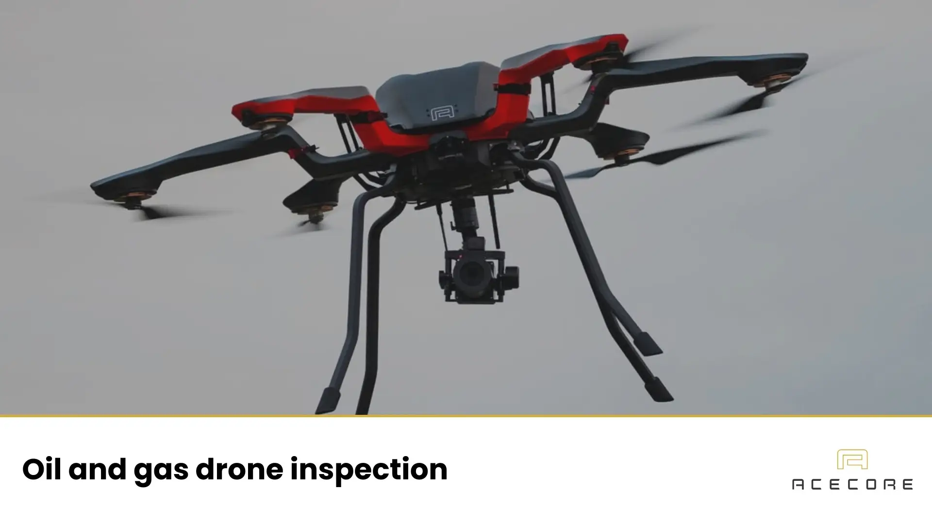
The Zetona UAV is Acecore’s precision inspection platform, ideal for close-up visual assessments. Its unique front-mounted gimbal provides an unobstructed 180° view from zenith to nadir, giving operators full visibility of pipeline joints, welds, and corrosion spots. Compact yet powerful, Zetona stabilizes a 60-megapixel Sony LR1 camera for razor-sharp results – perfect for high-detail inspection missions.
2. Zoe
Zoe is Acecore’s most versatile inspection drone – a balance of endurance, agility, and payload flexibility. Capable of up to 47 minutes of flight, Zoe drone thrives in wind and rain, thanks to its aerodynamic carbon-fiber frame and active airflow design. Its modular payload bay supports a wide range of sensors, making it ideal for mid-range pipeline inspections, mapping, and follow-up visual checks.
3. Noa
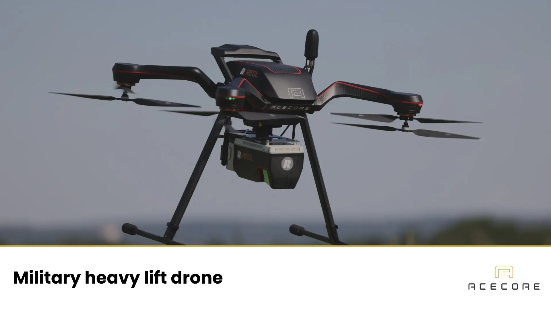
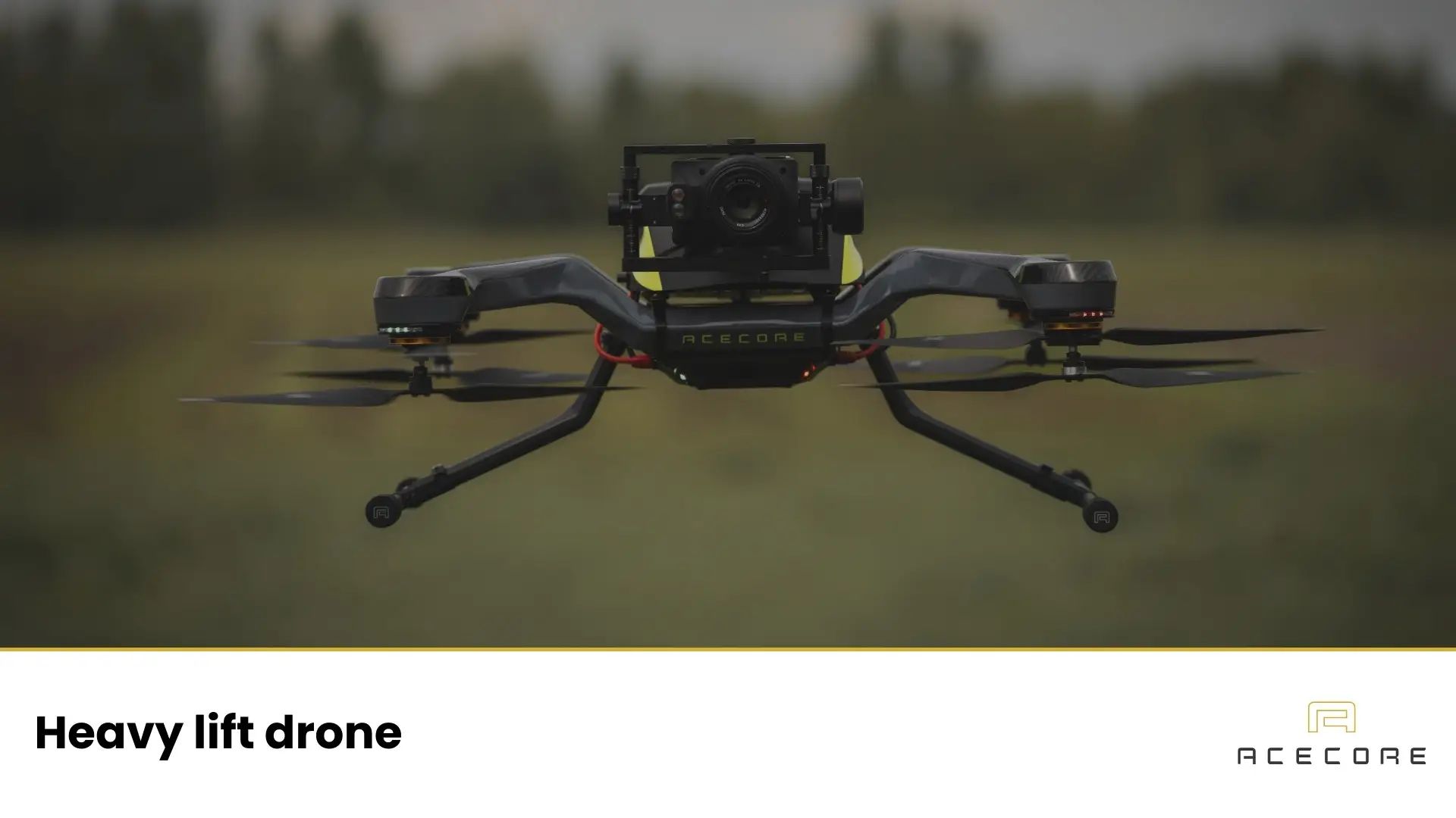
For heavy-lift and long-range missions, the Noa camera drone is the workhorse. With a payload capacity of up to 20 kg and a redundant hexacopter configuration, it’s built for carrying LiDAR systems, thermal imagers, and multiple sensors at once. Noa’s rugged construction and stability in strong winds make it an exceptional choice for wide-area surveys, structural assessments, and long-distance corridor inspections.
4. Noa Hybrid
When flight time is critical, the Noa Hybrid leads the field. Powered by a gasoline-electric hybrid system, this hybrid UAV delivers up to 265 minutes of continuous flight – perfect for BVLOS (Beyond Visual Line of Sight) missions over remote terrain. With built-in redundancies, backup batteries, and liquid-cooled power generation, it’s a dependable choice for operators needing uninterrupted performance over vast distances.
Integrated Payloads Pipeline Inspection Drones
The success of any drone-based inspection depends on its payloads – the sensors and cameras that turn flight into actionable data. Acecore’s drones are fully modular, allowing seamless integration of leading drone payloads including RIEGL LiDAR, Workswell thermal imagers, Sony optical cameras, and MicaSense multispectral systems. Each setup is balanced, calibrated, and tested in-house to ensure optimal stability and performance.
By integrating these payloads directly during production, Acecore ensures precise alignment, vibration control, and data reliability in every flight. The result is a complete aerial inspection ecosystem – one that’s ready to deliver consistent, professional-grade results right out of the box.
Configure Your Professional UAV for Pipeline Inspections
Acecore understands that every pipeline network is different. That’s why we work closely with clients to configure UAV systems that match specific inspection goals – from short-range visual checks to long-range LiDAR mapping. Our team provides expert guidance on platform selection, payload combinations, and regulatory compliance, ensuring each operator gets the most efficient and compliant setup possible.
When you choose Acecore, you gain more than a drone – you gain a partner. We offer in-house integration, hands-on pilot training, and ongoing technical support to keep your operations running smoothly. Whether you’re upgrading from traditional inspection methods or expanding your fleet, our experts are ready to help you design a system built for your mission.
Ready to elevate yourutility inspections with drones? Configure your drone, request a demo, or talk to our specialists today to experience how Acecore can transform your pipeline inspection operations.