
Construction drones are professional unmanned aircraft used to capture current visual and spatial data from above a jobsite. In practice, that means flying repeatable routes to collect photos, video, and sometimes laser scans that can be turned into maps, 3D models, and measurable reports. They’ve become a common tool because projects have grown in size and complexity, and site conditions change fast.
Aerial data helps by giving teams a shared overview that’s hard to get from the ground. Instead of relying only on site walks and scattered photos, everyone can review the same up-to-date view, compare it to last week, and spot issues earlier. This article explains what drone technology in construction entails, what it looks like in practice, and how it’s used.
Importance of the best drone for construction sites?
On a construction site, the wrong drone quickly becomes a time sink. Worksites are dynamic, access is often limited, and documentation needs to be accurate because delays and rework are expensive. If a drone struggles in the wind, can’t support the sensor you need, or produces inconsistent positioning, the result is re-flights, gaps in reporting, and data people don’t fully trust.
A capable construction drone improves decision-making by reducing guesswork. When you can reliably measure stockpiles, verify earthworks, check progress, or confirm site logistics from consistent data, discussions shift from “what do we think happened?” to “what do we do next?” It also reduces manual work in risky areas by capturing an overview first, helping teams plan safer access. And because construction depends on coordination, the value increases when managers, surveyors, and planners all work from the same current visuals and measurements.
Key technology of the best drones for construction
Construction-ready drones tend to share a few core technologies that directly affect results. If you know what to look for, it becomes much easier to judge whether a drone will produce dependable site data or just decent-looking footage.
- Flight stability: The foundation for usable data. A stable drone produces sharper images, cleaner LiDAR point clouds, and fewer unusable frames. Stability comes from smart airframe design, well-matched motors and propellers, flight-control tuning, and onboard sensing that helps the aircraft hold position when wind and turbulence shift around buildings, cranes, and open excavations.
- Payload capacity and sensor integration: Construction workflows depend on the sensor, not the drone by itself. High-resolution cameras power photogrammetry, thermal sensors reveal heat loss or moisture patterns, and LiDAR captures geometry in low-texture areas. A suitable platform needs secure mounting, clean power delivery, and vibration control so sensors stay calibrated and consistent throughout a mission.
- Positioning accuracy: The difference between “good visuals” and “measurable reality.” Standard GPS can show what’s happening, but mapping and measurement often benefit from RTK or PPK GNSS corrections to reach centimeter-level accuracy. That helps datasets line up over time and can reduce the dependence on extensive ground control, especially for repeat surveys.
- Durability and uptime: Construction sites are rough by default: dust, vibration, light rain, temperature swings, and constant transport. Durability is more than a tough frame. It also means reliable connectors, protected components, and practical maintenance so the drone stays operational week after week, not only on calm, clean days.
Put together, these four areas determine whether a drone becomes a dependable site tool: stable flight for clean capture, sensor-ready design for the data you actually need, accurate positioning for trustable measurements, and durability for real-world uptime.
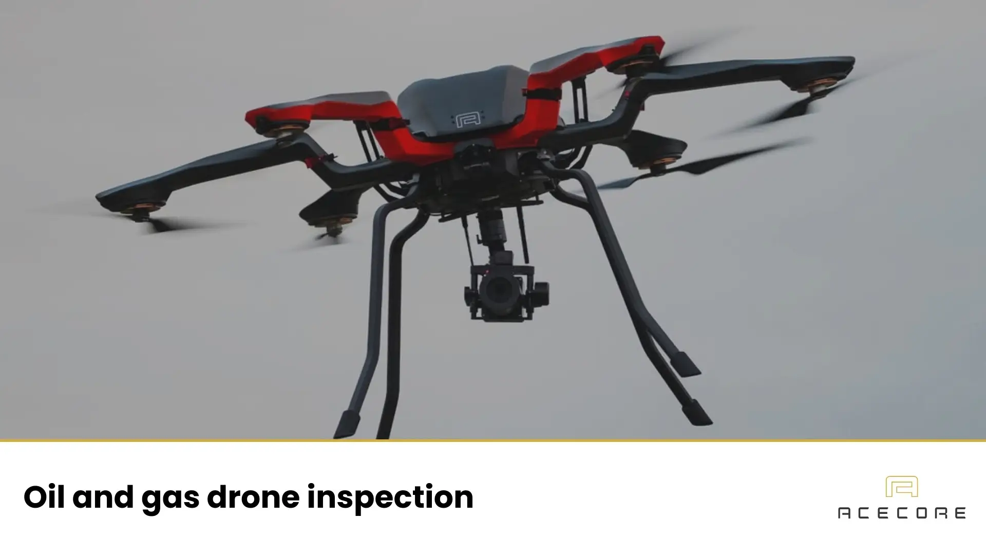
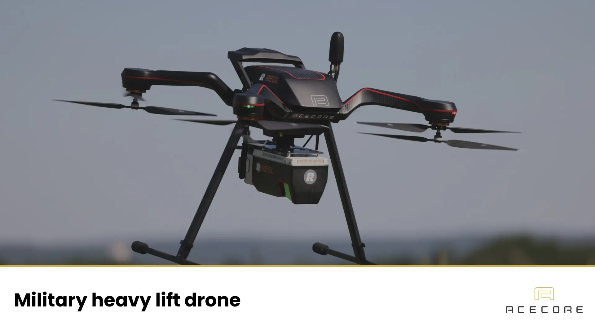
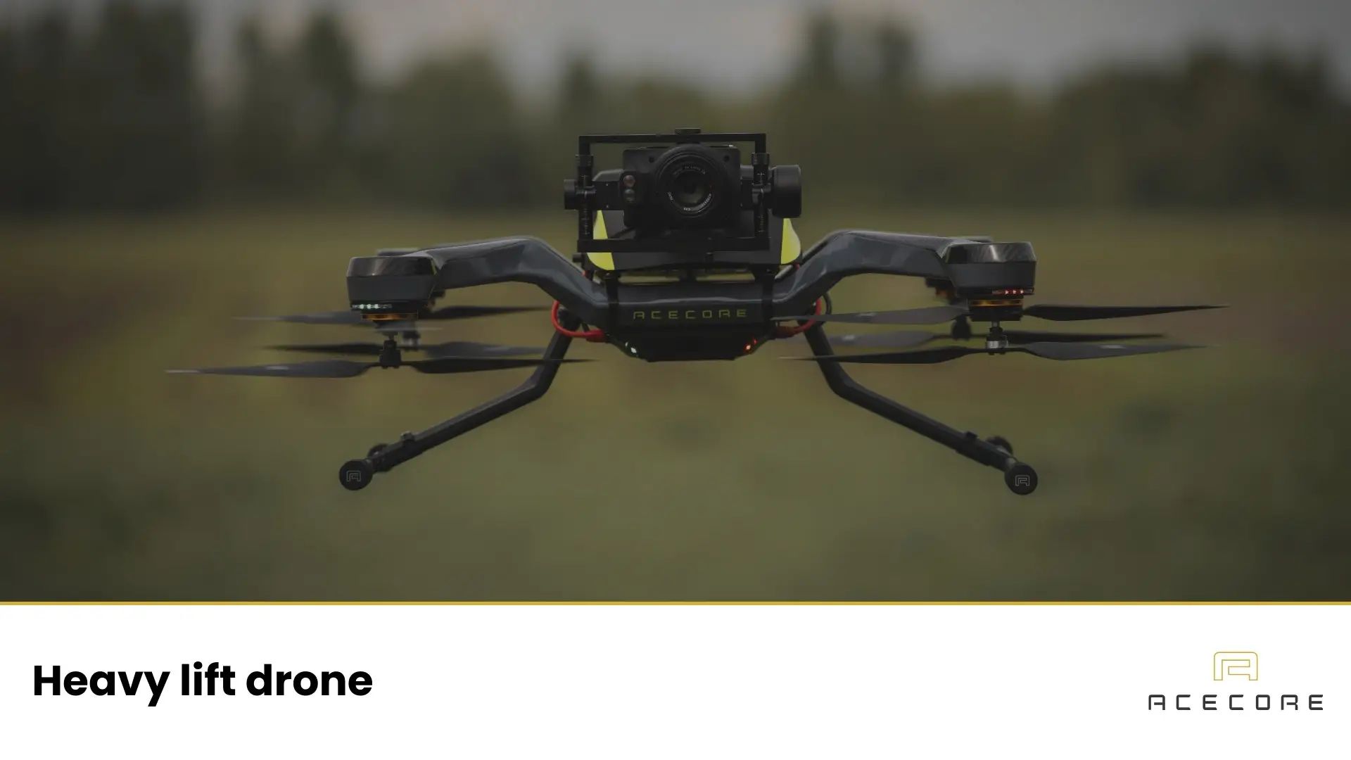
Acecore Technologies’ best drones for construction sites
As a practical illustration of what high-end professional platforms can look like, it helps to consider drones designed for demanding commercial operations. Acecore is relevant here because its platforms focus on rugged performance, modular payload integration, and long-term serviceability, which align with construction workflows where conditions are rarely ideal and repeatability matters.
Noa
Construction sites often need different kinds of data as a project evolves. Early phases may lean on mapping and measurements, while later phases focus on inspections, reporting, or site monitoring. The Noa fits that reality as a modular platform that can support different payloads and sensors depending on the mission.
That flexibility matters on long projects. One week the priority might be a consistent orthomosaic and surface model for progress tracking, while another week calls for detailed imagery of installations or hard-to-reach areas. A versatile platform helps teams standardize operations across phases by keeping procedures and outputs consistent while changing the payload.
Zoe
Larger construction projects benefit from a platform that remains stable while carrying advanced sensors. The Zoe is suited to that kind of work, with a design emphasis on stability, payload capability, and support for higher-end mapping and inspection setups.
This is where drones can strongly supplement traditional capture methods. Survey teams can generate site-wide models for cut-and-fill tracking, volumetric measurements, and documenting as-built conditions. Stability is especially important for mapping missions that require steady speed, predictable altitude, and clean image overlap, and for sensors that are sensitive to vibration.
Usage of the best drone for construction
In daily practice, construction drones are used to capture high-quality videos and images of construction sites. The workflow is often structured rather than ad hoc: teams plan repeatable flights, typically weekly or more often on fast-moving projects, so visuals line up over time. This creates a clear timeline of reality that supports progress monitoring, reporting, and communication between site and office.
Early on, drones provide a baseline record of existing conditions, access routes, and constraints. During earthworks, they support mapping, stockpile measurement, and checks of haul roads and drainage. In structural phases, they help teams compare what’s built to what’s planned and communicate sequencing and logistics. Later, drones are commonly used for inspections and handover documentation, capturing roof conditions, façades, and hard-to-reach assets without immediately needing lifts or scaffolding for a first assessment.
The value is not only the footage, but how it’s used. A short, clear video can bring a remote stakeholder up to speed quickly. Consistent images can clarify when changes occurred. Measured models can highlight deviations early enough to prevent rework. The best setups make this routine through consistent capture and reliable outputs.
Choosing the best drone for construction with Acecore
Choosing the best drone for construction starts with matching the platform to the work. Consider the project type and site conditions: dense urban sites may benefit from compact agility, while large infrastructure projects often prioritize endurance and mapping-grade accuracy. Then define the outputs you need.
If the goal is measurable deliverables like volumes, surface change, or consistent as-built records, stability, repeatable flight planning, and high-accuracy positioning are central. If the goal is detailed inspection, prioritize close-range handling and sensor performance.
If you want support in selecting an approach, Acecore can act as a knowledgeable partner on the operational side, helping teams think through rugged use, payload integration, training, and long-term support so decisions are based on real site constraints, not only a spec sheet.