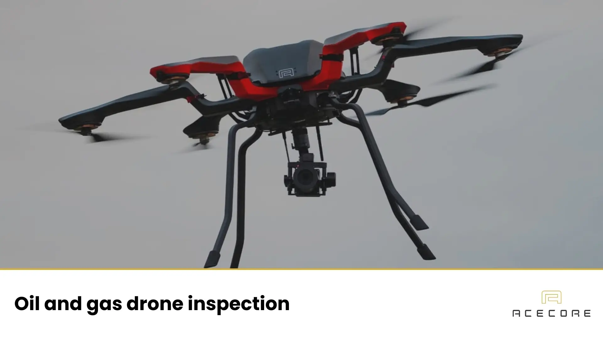

In a drone nuclear power plant inspection environment, the challenge is always the same: obtain dependable inspection data without putting people in unnecessary danger. Inspection drones make that possible by reducing the need for scaffolding, rope access, and work in difficult or hazardous locations, while still delivering the level of detail engineers need to make decisions.
A nuclear power plant inspection drone isn’t a single special category of aircraft. In practice, it’s a professional drone setup, airframe, sensors, operating procedures, and approvals, built around the realities of nuclear sites: strict safety culture, tight access control, and documentation that has to stand up to scrutiny.
What is a nuclear inspection drone?
A nuclear power plant inspection drone is an uncrewed aircraft used to capture inspection-grade data from places that are hard to reach, slow to access, or unnecessarily risky for people. The goal is simple: get clear, decision-ready information without adding avoidable exposure to height, confined spaces, or operational hazards.
The outputs usually look familiar to any inspection team, high-resolution visual imagery, thermal data, and sometimes 3D measurements. In more specialized cases, drones can also support radiological surveys, but that’s typically reserved for specific situations (for example, decommissioning work or unusually constrained zones), not day-to-day plant operations.
The importance of drone inspection on nuclear sites
Drones are valuable in nuclear environments for the same reason they’re valuable in other heavy industries: they reduce time-consuming access work and capture consistent data quickly. The difference is that in nuclear, the “cost” of access isn’t only time and money, it’s often additional procedural burden, added coordination, and sometimes higher personal risk.
They also improve repeatability, which is the basis of a solid drone asset inspection program. When you can re-fly the same angles and distances during each outage or inspection cycle, it becomes much easier to track change over time, cracks that slowly grow, coatings that degrade, corrosion patterns, or insulation issues that spread.
Where drones are used in and around a nuclear power plant
Nuclear sites are big, complex, and full of areas that are either hard to reach or simply not worth the time and risk of traditional access methods.
In practice, drone inspections tend to cluster in three main environments, outside on large structures, inside in GPS-denied industrial spaces, and (more rarely) in tightly controlled or higher-dose areas where quick visual checks can make a real difference. This is one of the most demanding forms of drone utility inspection, simply because the environment is so controlled.
External structures (often the quickest return)
Many nuclear drone inspections focus on large, visible structures where access traditionally means scaffolding, rope access, or lift equipment. Typical targets include containment building exteriors, cooling towers, stacks/exhaust structures, roofs, and large pipe or cable routes.
Large indoor industrial spaces (where GPS isn’t available)
Indoors, drone work becomes more specialized. Lighting is limited, GPS is usually unavailable, and radio signals can behave unpredictably around dense structures and metal infrastructure. These missions are typically flown slower and closer, with strong emphasis on stability, illumination, and communications reliability.
High-restriction or higher-dose areas (used carefully)
In rare cases, especially in legacy, incident-related, or unusually constrained environments, drones may be used to visually check areas where human access is limited. These missions are engineered around minimizing time in the zone, ensuring data collection is worth the operational complexity, and keeping procedures very tight.
Crucial sensors that nuclear inspection drones carry
Sensor choice is driven by the inspection question. If the goal is condition assessment of concrete or coatings, you’ll prioritize sharp visual imaging and consistent viewpoints. If you’re looking for heat patterns, you’ll add thermal. If you need measurements or a model you can compare over time, you’ll use LiDAR or structured photogrammetry workflows.
Visual imaging (RGB)
The visual camera is the workhorse. It’s used for cracks, spalling, staining and leak indicators, coating failures, corrosion signatures, missing fasteners, and general documentation for engineering review. The practical detail that matters most here is not “4K” as a marketing term, but image sharpness, lens quality, and stable flight, because inspection teams need to zoom in and still trust what they’re seeing.
Thermal imaging
Thermal cameras help reveal patterns that aren’t obvious in normal light: hotspots, insulation failures, abnormal temperature gradients, and unexpected heat signatures. On operational sites, thermal work also depends heavily on the inspection window and plant conditions, what you see is shaped by what’s running, what’s cooling, and what’s been recently shut down.
LiDAR and photogrammetry (3D measurement)
3D capture is used when you need geometry you can measure, store, and compare. This can support deformation checks, change detection, accurate mapping of defect locations, and planning for access or maintenance work. The same approach is common in drone bridge inspection and drone dam inspection.
Radiation sensors (specialized)
Radiation mapping with drones exists, but it’s not the default for routine inspections. When it is used, it’s usually because it helps reduce time in a constrained area or supports planning and verification work in environments where radiological conditions matter to decision-making.
What’s different about nuclear drone inspections?
Nuclear inspections place more weight on planning, permissions, and documentation than most industrial sites. Flights are coordinated with site security and operations, and data handling tends to be more controlled. Separate from inspection, some sites also use security drones for perimeter awareness. In other words: the drone is only one part of the system, the workflow around it is just as important.
Communications can also be a bigger deal than people expect. Large reinforced structures, metal-heavy interiors, and complex layouts can reduce signal quality. That’s why serious nuclear drone operations think through link reliability, flight geometry, and contingency procedures before the aircraft ever takes off.
If work is planned near higher-radiation environments, you also have to treat the aircraft as a piece of electronics operating under potential stress. The mission design focuses on keeping time-on-task short, capturing only what’s needed, and ensuring the platform and payload are appropriate for the environment.
How a typical nuclear drone inspection mission runs
Most successful programs follow a repeatable structure. First, the team defines what decision the inspection is meant to support, what must be confirmed, measured, or compared. That determines the sensor package, the required resolution, and the flight angles.
Next comes coordination: permissions, risk assessment, keep-out zones, escorting requirements, and clear procedures for abnormal situations. With that in place, the flight plan is built for consistency, because repeatability is what makes trending and comparison possible.
During the actual flight, inspection work is usually slower than “typical drone flying.” The priority is stable positioning, consistent overlap, and clean imagery, data that engineers can rely on. After the flight, data is processed into deliverables such as annotated photo sets, thermal findings, 3D models (if used), and a concise findings report that highlights what changed since the last inspection.
Building a reliable inspection drone for power plants
If you’re building a serious inspection capability for complex industrial sites, it helps to work with a nuclear power plant drone platform that’s designed for modular payloads, stable flight, and long-term operational support, not just a one-off mission.
We at Acecore Technologies develop high-performance, hand-crafted commercial drones and supports operators with integration, training, and long-term service, useful when you want your inspection workflow to stay consistent year after year.