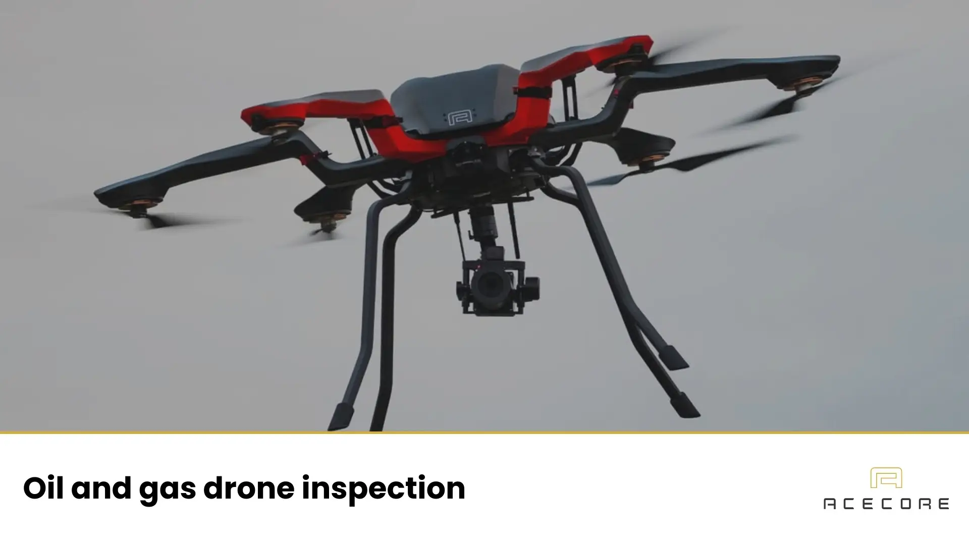

Railway inspection drones are professional UAVs used to check the condition of rail assets from the air, tracks, overhead lines, bridges, slopes, signals, and the “right-of-way” corridor around them. Instead of putting people on or near live tracks for long hours (often at night, in short possession windows), drones collect high-resolution imagery and sensor data quickly, so maintenance teams can spot issues earlier and plan repairs with fewer disruptions.
A good way to think of it: a drone for railway inspection doesn’t replace rail engineers, it gives them better eyes, faster, and from safer angles.
What is a railway inspection drone?
A railway inspection drone is a professional UAV from the industrial drones category built to capture repeatable, inspection-grade data in real rail conditions. The key is controlled, stable flight and reliable camera/sensor performance, so the same route can be flown consistently and the results can be compared over time.
Unlike a consumer drone, an inspection drone is designed to produce usable evidence for engineers: clear detail from safe stand-off distances, predictable capture angles, and outputs that fit maintenance workflows (from close-up visual checks to mapping, thermal, or LiDAR depending on the task).
Why rail operators use drones for railway inspections
Rail networks are long and hard to inspect efficiently from the ground. Drones help teams scan right-of-way corridors, spot vegetation and obstructions, assess ballast and drainage after weather events, and document structures with a drone bridge inspection quickly and consistently.
They also improve safety and response speed by reducing time spent near live tracks, at height, or around high-voltage systems, and by providing a fast overview after incidents before people enter unstable or restricted areas.
Key benefits of railway inspection drones
Railway inspections are all about finding small issues before they become service-impacting problems, but the network is long, access is often difficult, and time on-site is limited. Drones for railway inspection add a practical layer of visibility: they let teams capture clear evidence quickly, revisit the same locations consistently, and make better decisions about where to send people and when to intervene.
The benefits below aren’t theoretical. They show up in day-to-day operations as faster coverage of the corridor, safer ways to capture detail, and documentation that holds up when you need to plan work, justify priorities, or review what changed over time.
Faster coverage of linear assets
Rail corridors stretch for kilometers. A drone can inspect a section quickly without setting up scaffolding, closing access roads, or walking long distances beside tracks.
Better angles, better evidence
Zoom cameras can capture close-ups of insulators, fittings, and structural details from safer stand-off distances. Mapping flights create orthomosaics and 3D models that let teams measure and compare changes over time.
More consistent documentation
Drones produce “inspection proof” you can review later: imagery, video, annotated findings, geotagged defects, and time-stamped records, useful for maintenance planning, audits, and contractor coordination.
Earlier detection, less disruption
When issues are caught early (minor drainage problems, vegetation growth, early slope movement), fixes can often be scheduled in normal maintenance windows instead of emergency possessions.
Railway inspection drone services
Railway inspection drones are not used for a single task, but as part of a broader set of inspection and survey services that support maintenance, planning, and asset management. These drone railway inspection services can be adapted to different questions, from “what changed since last month?” to “is this asset still within tolerance?”, while keeping people safely off the track and reducing disruption to operations.
Railway drone survey
A railway drone survey focuses on capturing structured, repeatable data along the rail corridor or at specific assets. This typically includes mapping tracks, ballast, earthworks, structures, and surrounding right-of-way to create orthomosaics, 3D models, or measured datasets. These surveys are used for condition assessment, planning maintenance work, and establishing baselines that make change detection over time possible.
Track and ballast inspection
Drones for railway inspections support visual inspection of track alignment, ballast condition, drainage performance, and localised defects. By flying consistent routes at safe stand-off distances, teams can document areas of concern and decide where on-track inspections or interventions are actually required.
Overhead line and power infrastructure inspection
Zoom and thermal sensors allow detailed inspection of overhead lines, masts, insulators, and fittings without putting personnel near live high-voltage equipment. This improves safety while still delivering clear evidence for maintenance planning and fault investigation.
Bridge and structure inspection
Railway inspection drones are commonly used to inspect bridges, culverts, retaining walls, and other structures that are difficult or costly to access from the ground. Aerial perspectives and close-range imagery help engineers assess surface condition, joints, bearings, and signs of movement or deterioration.
Vegetation and clearance monitoring
Drone-based inspections help identify vegetation encroachment, clearance issues, and access constraints along the corridor. When combined with mapping or LiDAR, this service supports proactive vegetation management and compliance with clearance requirements before issues affect operations.
Post-event and incident assessment
After storms, landslides, flooding, or operational incidents, drones provide a rapid overview of affected areas. This allows teams to assess damage, identify hazards, and plan safe access before sending people into unstable or restricted environments.
How a railway drone inspection saves time
Time savings usually come from reducing three kinds of “hidden work”:
- Access time: Getting people and equipment to the asset is often slower than the inspection itself, especially on remote track sections, embankments, or bridges. Drones shorten that “first look” dramatically.
- Setup time: Traditional methods can require rope access, cherry pickers, lane closures, or possession planning. A drone team can often operate from a safe staging area with minimal setup.
- Decision time: High-quality visual evidence helps maintenance teams decide: monitor, schedule, or intervene now. That reduces back-and-forth site visits.
A common pattern is using drones as a screening tool: scan a corridor, flag anomalies, then send specialist teams only where needed.
How railway drone inspections are carried out
A solid inspection starts with a clear question: what asset are you inspecting, what counts as a defect, and what output will maintenance teams actually use. From there, the sensor choice follows. Zoom cameras are common for detailed visual checks from a safe distance. Thermal helps when heat is the signal, such as electrical anomalies or water ingress patterns.
Mapping cameras and photogrammetry are used when measurement and documentation matter, for example on structures, earthworks, or post-event surveys. LiDAR is often chosen for clearance analysis and vegetation encroachment, especially where dense canopy or low light makes traditional mapping harder.
Flights are usually planned for consistency rather than speed. Slow, stable passes and repeatable angles produce evidence that stands up in reporting and helps compare changes over time. The final step is turning raw data into decisions: locating issues precisely, describing severity, and defining what follow-up is required.
Drone capabilities that matter in rail environments
Rail inspections reward stability, controllability, and good optics more than headline megapixels. A strong zoom payload lets you keep distance while still seeing small details. Reliable positioning and repeatable routes are critical when you want to track change, not just document a moment.
Endurance matters, but it’s always a trade-off with payload weight; detailed close inspection tends to be shorter and more methodical, while corridor mapping prioritizes coverage. Just as importantly, the workflow has to be dependable: capturing, storing, processing, and delivering data in a format engineers can use.
The future of railway inspection drones
Rail drone inspection is moving from “we fly when there’s a problem” to “we fly because it’s part of how we monitor the network.” The next step isn’t a radically different aircraft as much as a more repeatable system: the same routes flown the same way, with the same outputs delivered in the same format. That consistency is what makes trend monitoring possible, spotting gradual vegetation encroachment, early earthworks movement, or recurring issues on structures before they turn into disruptions.
You’ll also see a big push on speed from flight to decision. Faster processing pipelines and better data management mean teams can go from raw imagery to a usable report in hours instead of days, which matters after storms, incidents, or urgent maintenance windows.
Analytics will increasingly help with triage, flagging likely anomalies in large image sets, grouping similar issues, and guiding reviewers to the frames that matter, while engineers stay in control of the final call.
Creating a trustworthy and safe railway inspection workflow with drones
If you want drone inspections to deliver reliable value on a rail network, it helps to think beyond the flight itself. The “real” system is repeatable capture, sensors that match the questions your maintenance team needs answered, and outputs that stay consistent across sites and operators.
At Acecore we are set up to support exactly that end-to-end approach: in-house integration to build a seamless system, plus training (on-site or at their HQ) so crews can operate confidently from day one. If you’re mapping out a railway inspection program and want to sanity-check the workflow, payload fit, or training plan, it’s worth investing in quality railway inspection drones for the safety and work quality of your team.